by Steve Norris, Meteorologist
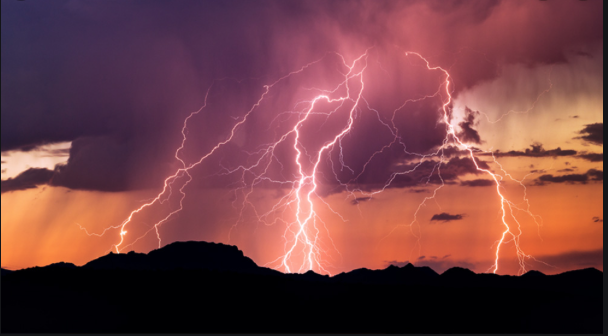
I am becoming increasingly concerned about a storm system on Saturday that is likely to bring very heavy rainfall but also the
potential for severe weather and even tornadoes is increasing
for Central and Western Alabama.
The temperatures are going to be unseasonably warm, dew points are going to be in the 60s so plenty of moisture is available and there will be a strong jet stream over the state making the atmosphere more unstable. Conditions may become favorable for a few supercells and those can be the potential tornado producers. Use the time now to adjust your weekend plans and to ensure that you have a solid severe weather safety plan, emergency supplies and multiple reliable ways to get emergency information.
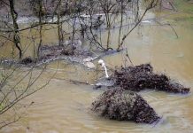
We are already looking at another weather system Monday and Tuesday that could bring Heavy Rain to the area once again so the flood risk of area rivers is going to be quite High into next week.
Since the 20th of December, Centreville has picked up seven and a half inches of rain, that amount falling in less than three weeks and plenty more coming.
These warm temperatures are going to stick around with low 70s Friday and Saturday and mid-to-upper 60s Sunday through Tuesday.
There is a full moon Friday night even though we probably won’t see it due to the Rain, it is called the Wolf Moon. On a clear evening if you look to the Southwest just after dark you are going to see the planet Venus shining brightly.

If you have any weather questions or need weather data, I am always available at weather1@charter.net


